
Overview
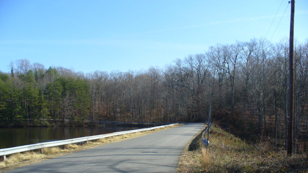
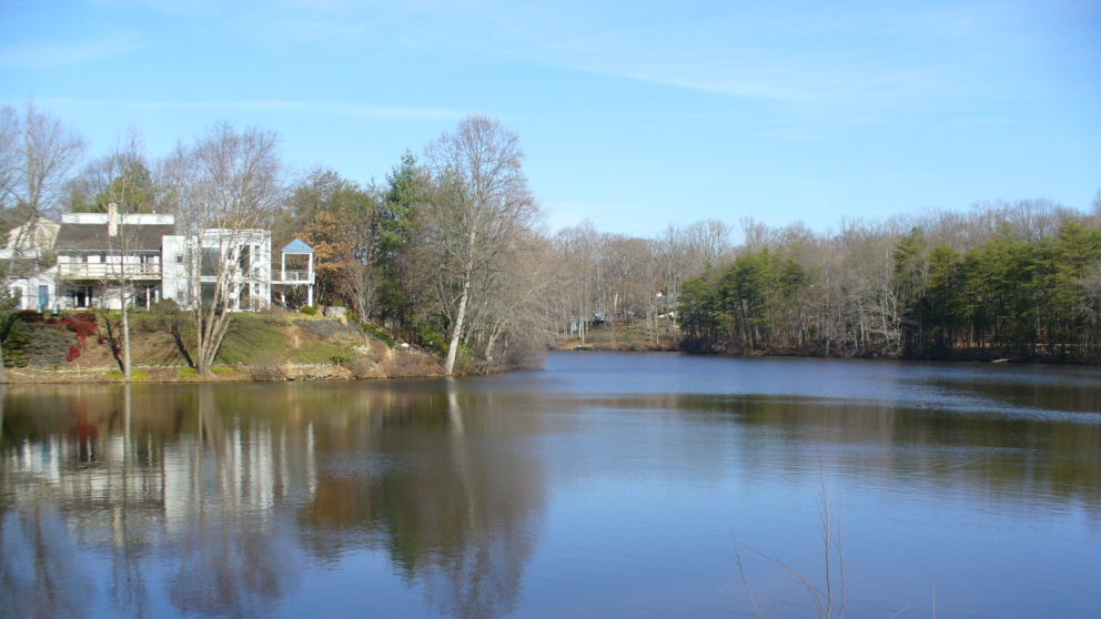
Lake Carroll Dam is an existing earthen dam that impounds Lake Carroll in Stafford County, Virginia. The lake drains into an unnamed stream which joins with the Rappahannock River roughly 1.18 miles downstream. Lake Carroll occupies approximately 13.6 acres and is owned by the surrounding homeowners. In accordance with the Virginia Impounding Structure Regulations (Dam Safety Regulations), the owners of the dam were required to have a licensed engineer perform a dam break inundation zone analysis and mapping that represented the impacts that would occur downstream of the dam under various flooding and dam breach scenarios.
Timmons Group assisted the Lake Carroll Dam owners by providing the following key engineering services for this project:
• Field investigation and collection of key dam parameters
• Watershed mapping and land use/land cover analysis using ArcGIS orthogonal aerial imagery
• Hydrologic analysis using HEC-HMS
• Hydraulic/dam breach analysis using HEC-RAS
• Dam breach inundation zone mapping using RAS Mapper and GIS
• Dam hazard classification determination
Project completion date was October, 2017.