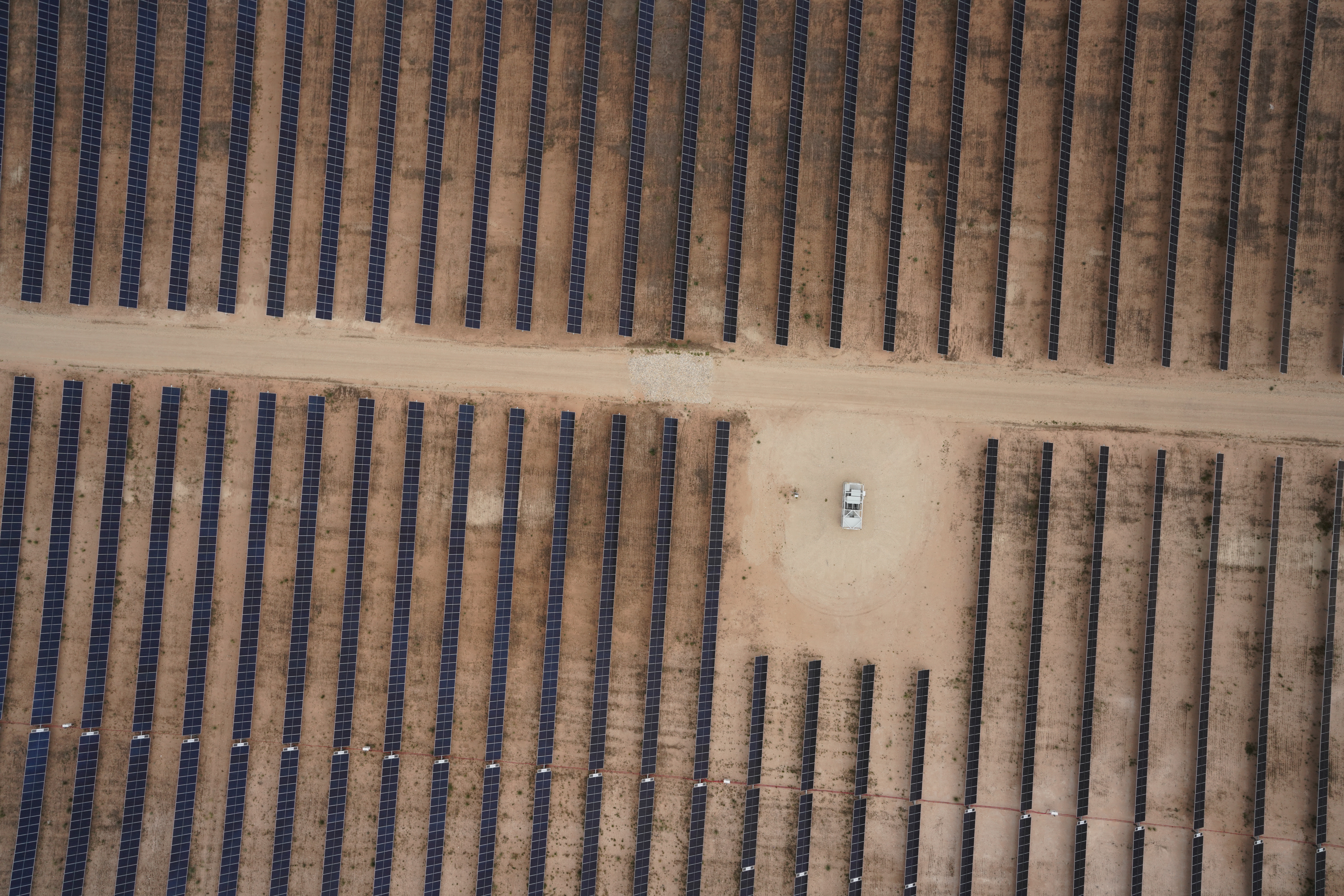
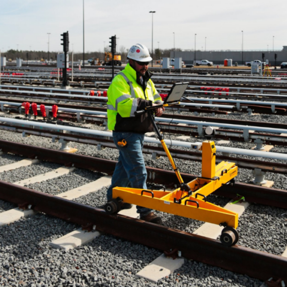
There are several factors that go into site selection for new projects, specifically how or why developers, municipalities, and companies choose where they want to build. In the last several decades, repurposing land that has already been developed is becoming more common for two reasons: 1. Undeveloped land isn’t as prominent as it used to be and 2. Building where something already existed is more efficient.
Why is building on previously developed land more efficient? “Isn’t it harder to clean up a plot of land than it is to start fresh?” folks might ask. Though it may seem strange to some, building on a previously developed plot of land actually has a lot of benefits, even when you have to prepare the property first. Those benefits could include anything from environmental improvements and less new land disturbance to cost efficiency, time savings, and fewer permitting requirements.
Those benefits make a lot of sense when you take a look at infrastructure, particularly underground utilities like water mains, gas lines, sewer pipes, underground storage tanks, and lines that use electricity like cable, internet, traffic signals, and telephones. But how do builders retrieve information to make sure they’re not interfering with previously embedded subsurface lines? They call a subsurface utility expert, of course!
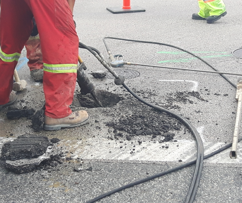
Unlike traditional land surveying, which uses line of sight to identify barriers above ground, subsurface utility engineering and surveying uses a variety of tools and measurements to determine if there are underground obstacles that may impact the design and construction of a project. The professionals that identify these obstacles play a significant role in the process.
Justin Lilly is an SUE (subsurface utility engineering) surveyor in the Timmons Group Ashburn, Virginia office. He has over 20 years of experience in the field, including experience in ASCE standards and guidelines, multi-crew management, EM location equipment, SPAR equipment, computer-aided design (CAD), and Point Positive Utility mapping. Justin typically works with projects from start to finish to support his clients’ needs.
When Justin is called to a project, it’s likely because existing subsurface utilities were not marked properly or were missed in a project’s initial design plans. His every day goal is to identify those underground pipes and lines so that engineers and heavy equipment operators know where they are before digging into the ground.
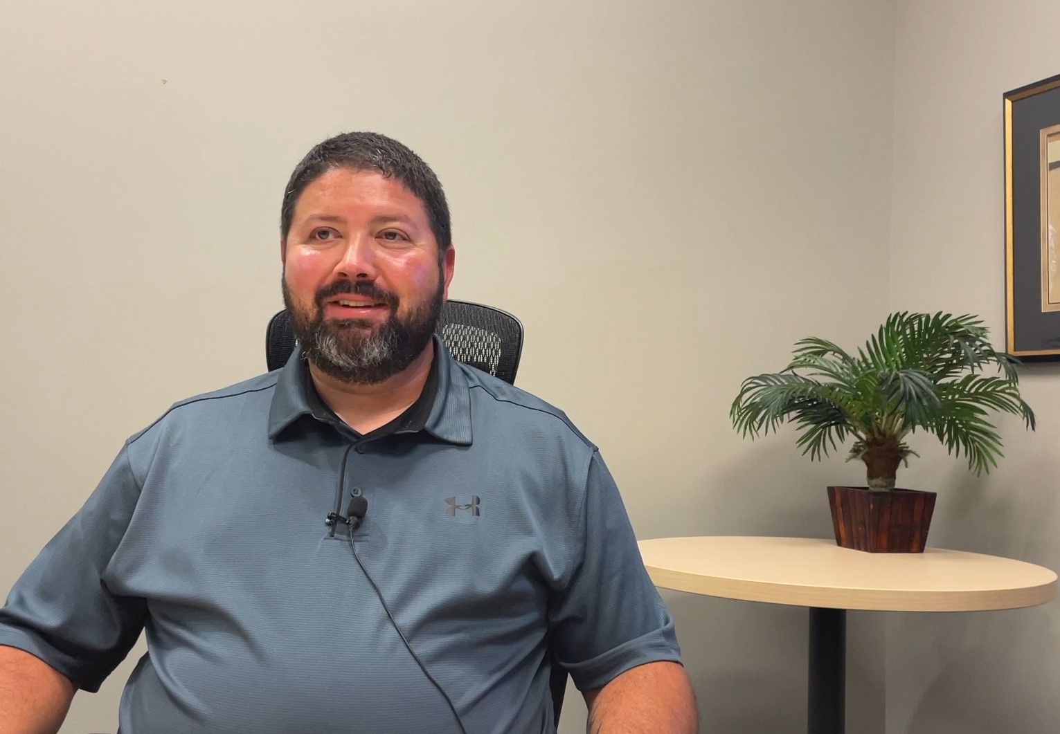
Justin Lilly, an SUE expert in our Ashburn office, sits down for an interview.
There are four quality levels that SUE professionals use to determine what measures should be taken to identify underground utilities. According to the Federal Highway Administration, Quality Level D indicates that the most basic information about an underground utility is available. This level is usually based on existing utility records, verbal recollections, or other sources that may be considered unreliable. Quality Level C, the most common quality level used, involves surveying based on visible utility indicators like manholes or valve boxes.
Quality Level B allows professionals to ‘designate’ using colored markings that represent various underground utilities. White marks designate proposed excavation, pink are temporary lines, and red are any lines that use electricity to function. Yellow is for gas, oil, steam, petroleum, or gaseous material. Orange marks designate communications lines, blue designate potable water, purple marks are for reclaimed water and irrigation, and green represents sewers and drain lines. SUE professionals use electromagnetic locators to find and mark these lines. Typically, the marks are made using a six foot corridor rule where the utility exists within two feet to either side of each mark.
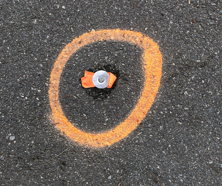
A marker on the road is circled with orange spray paint and tied with orange survey tape.
Quality Level A, known as ‘locating’, is the highest quality level for SUE surveying. It’s extremely accurate and can be performed through nondestructive exposure methods in which SUE professionals use air-vacuum excavation systems to expose utilities. A utilities report identified at Quality Level A will also include type, size, depth, condition, material, and other characteristics of subsurface utilities.
Depending on project location and soil type, Timmons Group’s teams use various exposure methods to perform Quality Level A surveys. Projects located on clay or dense soil might require the use of hydro excavation while sandy or loose soil would benefit from vacuum excavation. Vacuum excavation systems, like the Vacmaster that our teams use, work by displacing dirt with the help of an air lance, exposing lines without digging. Specialized safety gear and hazmat suits can be required to use air systems when working on a brownfield project due to potential hazardous or waste materials that may be left from a previous development.
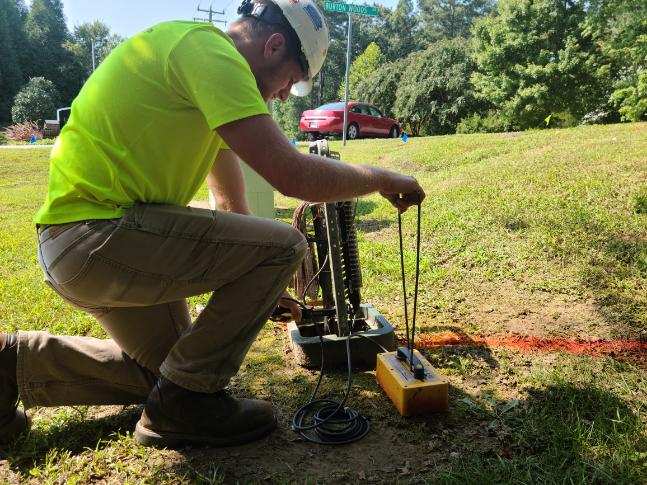
A Timmons Group SUE professional uses a Pipehorn 800HL Pipe and Cable Locator to find utilities.
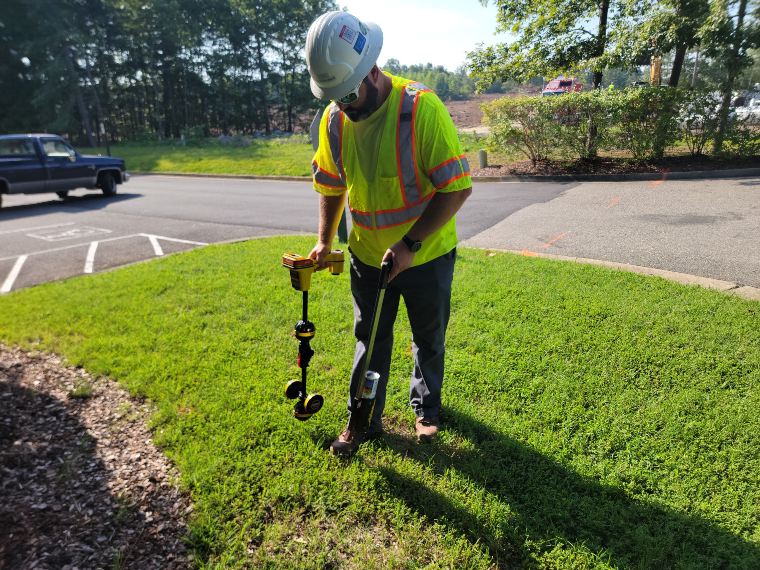
A Timmons Group SUE professional uses a Ridgid SeekTech SR-20 Locator to find utilities.
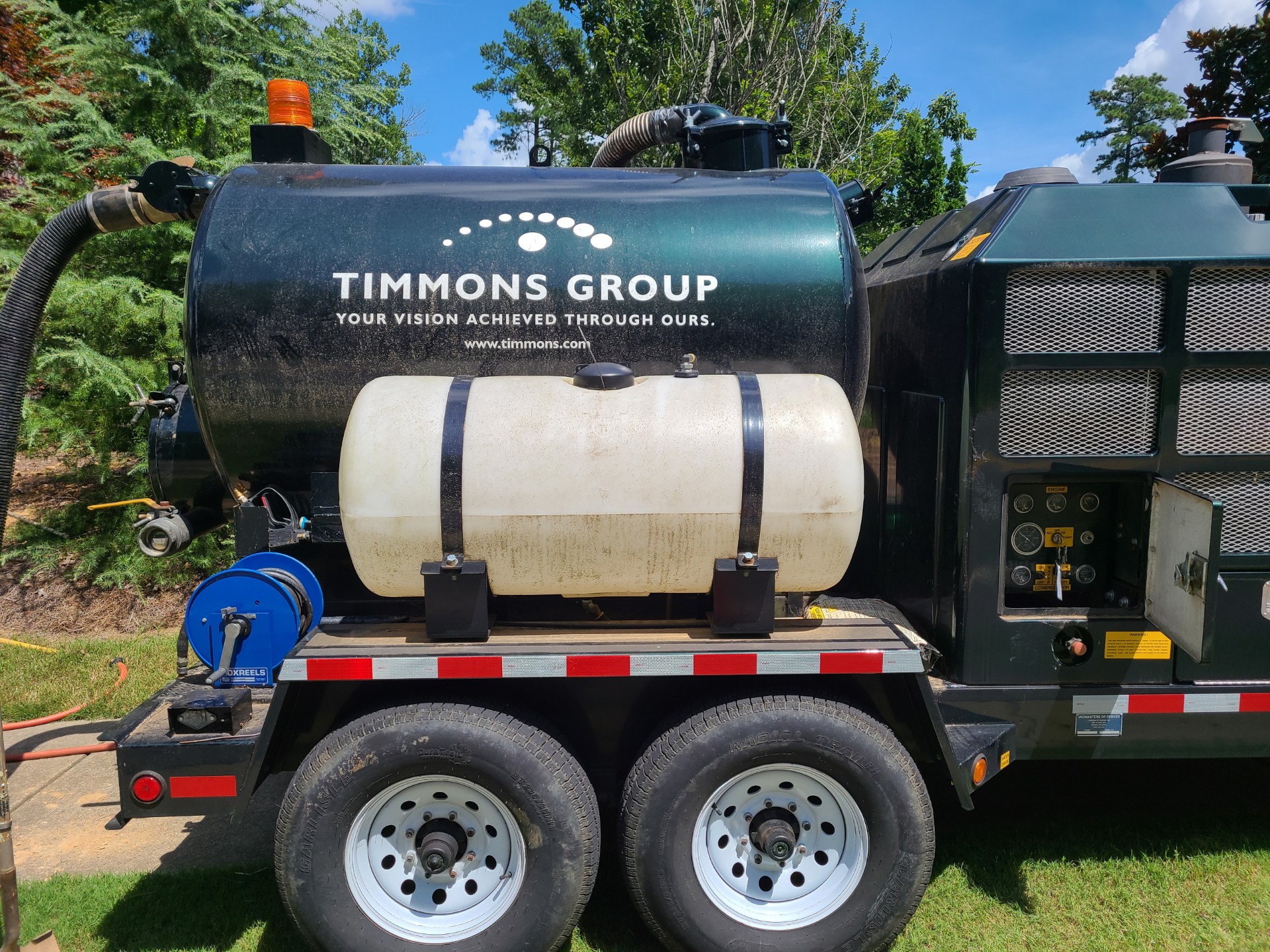
A Vacmaster trailer on wheels sports the Timmons Group logo.
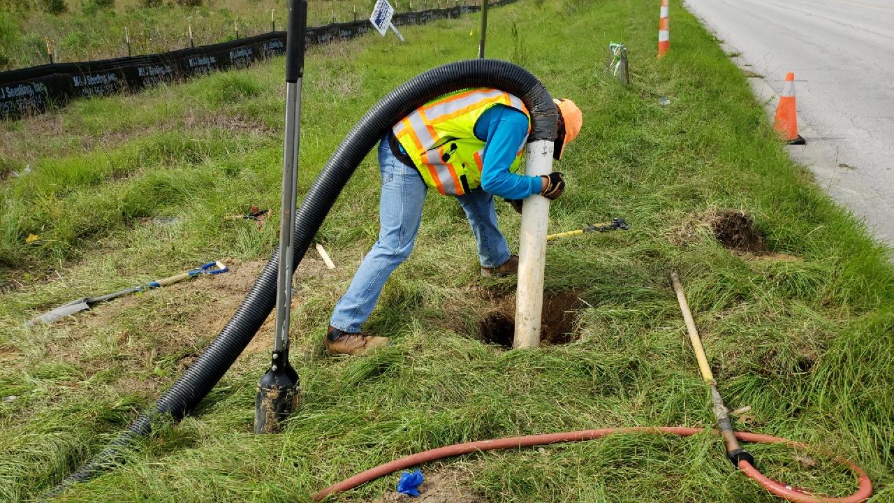
A Timmons Group SUE professional uses an air lance and Vacmaster system to expose utility lines underground.
“I like problem solving,” Justin said about his role as an SUE professional. “I work with clients to identify utilities, and that is challenging because, while a lot of projects are similar because they involve underground utilities, each one presents its own problems.” Justin says he enjoys identifying utilities that others had difficulty spotting because it helps him become a stronger surveyor. “I take pride in what I do and I’m always learning. I have tricks of the trade that I’ve picked up along the way. It’s interesting to find the unfindable.”
Justin’s on site work is chock full of unique gear and tools. He uses a variety of electromagnetic locaters and metal detection systems. Depending on the depth of the utility and type of soil he’s working with, Justin may use the Subsite, Vivax, or MetroTech 810, which each use different frequencies to detect lines below the surface.
These tools are significant to how he tracks and locates anything underground that might affect a project. “Engineers design an entire project based on something being there or not being there. Say there’s a water line running through the middle of a site and the project team is putting in a sewer for a new building. The team can plan to avoid the water line. But if they miss what’s underground, you’d be looking at a potential problem,” Justin said.
Not only can Justin and his team work around properly identified subsurface items, they can also change the trajectory of a project by relocating them if needed. “We’re talking safety, time, money, and sustainability when it comes to underground utilities,” Justin said. “Our goal is to be as efficient for our clients as possible, and sometimes that includes reworking plans to find the best solution.”
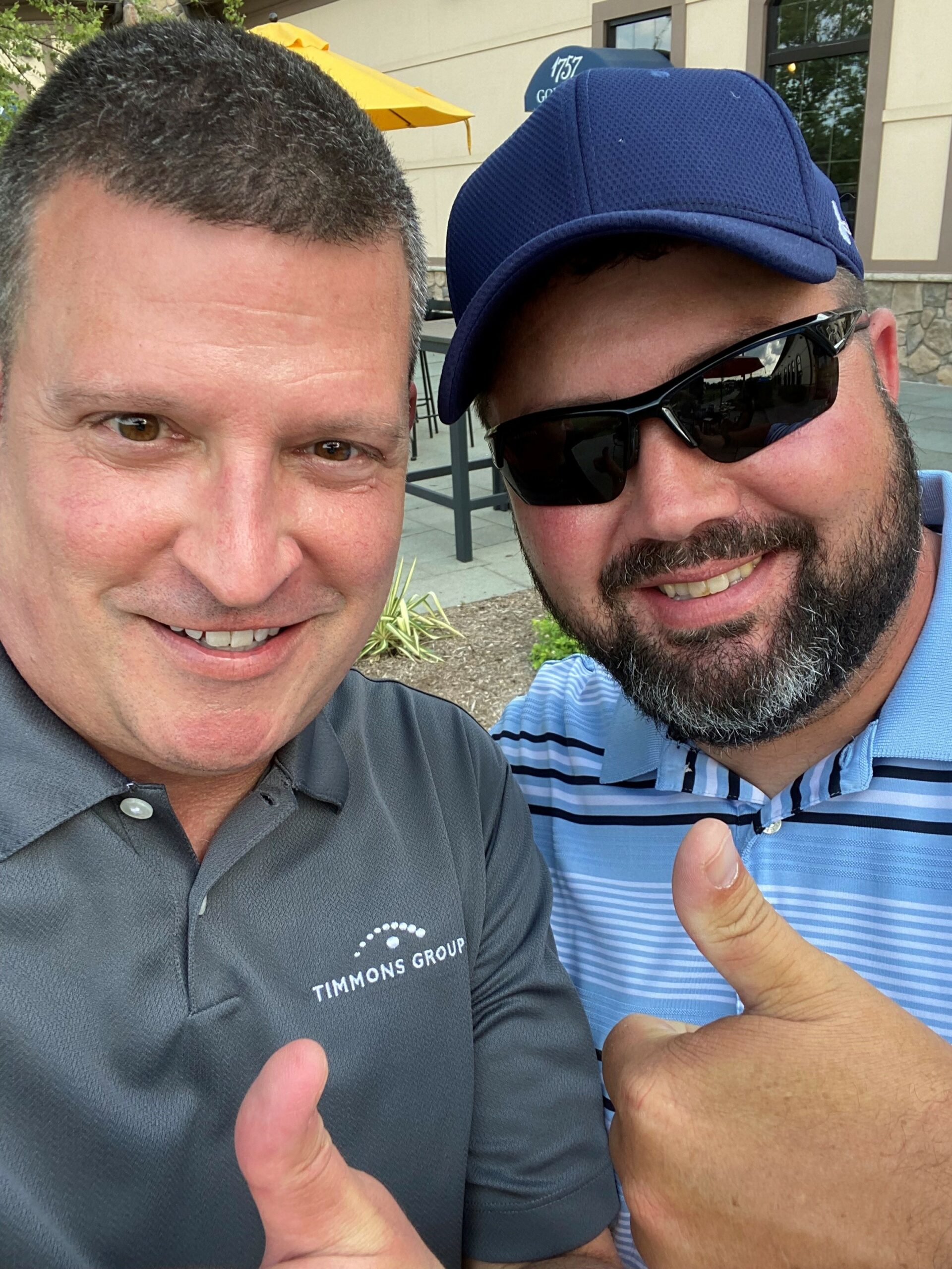
Justin Lilly (right), a SUE expert, and Mike Newman (left), a business development manager in our Ashburn office.
An independent study at Purdue University found that companies who partner with SUE consultants report a higher average project savings, which could add up to about $1B per year nationally for industry partners. Timmons Group is proud to collaborate with our clients to help them achieve every level of their project needs while keeping their vision and values at the forefront of our partnership, and that includes prioritizing the sustainability and efficiency of projects that require SUE services.
For more information about our SUE offerings, visit us on the web or email us at info@timmons.com to connect with a local SUE professional like Justin.

